
WELL, THAT WAS A BIT WAY OFF
The eldest Foot girl helping Daddy realize there's a bit more than 1.5" of snow.
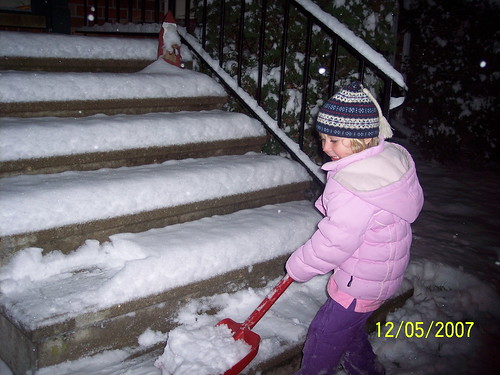
But for 2 little girls...the amount did not matter, just the fact that it snowed!

From reading the NWS Public Information Statements on snowfall reports from this storm, you would think we're back to the good ole' days of weather forecasting. (Actually our TV and Weather Service Meteorologists did a fine job, it was a tough storm to nail down throughout). On a lighter note, this event reminds me of a story from yesteryear I saw once in the humor section of Reader's Digest. The story was about a telephone call that an elderly grandmother in the midwest had placed to the TV station one wintery day. She wanted the meteorologist in charge to know she was particularly displeased with his forecast for the overnight hours. The woman is reported to have told the operator:(insert authentic midwestern twang accent here) "I'd like your weatherman to please come down to my house and shovel away the 6 inches of 'party cloudy' from my driveway.") I'm guessing there's someone in Glen Burnie, MD tonight who might be able to relate to grandma here, since they got a whopping 6.2 inches and were only expecting 2-3!
SO WHAT THE HECK HAPPENED?
While I'm not a licensed meteorologist, I have solid forecast training from the Penn State Weather Center, interned at the National Weather Service in Philadelphia, and have been "doing this kind of stuff" now going on 22 years. I'm also certified by Pennsylvania and Maryland to teach Earth Science, with an degree in that field to boot. So with all that background and training, you'd think that I and others in the forecasting arena would have caught on to what turned out to be the simplest observation of all... Oh the wind.
I realized around noon that surface and low-level winds across Central and Eastern Maryland were nothing but southerly all morning. There were other factors at upper levels that I know played a major role in the late day enhancement and evening banding which we all witnessed from 7 to 9 PM. However, my students and I were noticing on the radar a simple observation that could not be ignored. Yes, Virginia, there were breaks in the precip on west side of the mountains, but we started to wonder why the precip was redeveloping so quickly and even more heavily on east side of the Blue Ridge. My answer: low-level transport of moisture from the bay and ocean directly into the clipper's path, due in part to clockwise motion of a weak high pressure off the Carolina coast. Both the high and low were somewhat weak, so pressure gradient was not too intense and even though both systems moved out into the Atlantic, they did so in tandem for a few hours. The high then continued to provide a source of moisture on the backside even as a very minor secondary low was developing.
Overall, I believe southerly surface and low-level winds I believe are what did the trick in the end. The snow started at 9AM in Dundalk, and never looked back, and even at the onset, I realized something was up. As the flakes were very very numerous and extremely small.. leading me to consider that moisture content was going to be higher than we expected, and the liquid to snow ratio possible higher, say 1:13 versus 1:10 or 1:12. That's my theory, I hope it makes sense to you, and appropriately fits the facts of the case.
WHAT ABOUT SCHOOL?
You just had to ask, can't take an early dismissal and be satisfied with that now, can you? Never mind the benchmarks and short cycles that are looming, or that observation that got rescheduled, or the sports games that were canceled, or the meetings you wanted to get out of the way... no just throw all caution to the wind (in this case, a southerly one, right) and go way out on a limb and say what you really feel...
Because you know you want "it" but you just can't see how it might happen given the circumstances on the ground. What is it? I know what you want... forget a delay, a 2-point conversion or a 50 yard field goal... you want the Hail Mary Triple Overtime Game Ending Touchdown. You want the whole day off, don't you? I can even sense some of our loyal administrator readers out there are angling in their mind.. "Well, I could go in half day, get some paperwork done, then make some calls, clear a bunch of email..."
FOOT'S FORECAST FOR THURSDAY 12-6 DELAYS AND CLOSINGS IN CENTRAL MARYLAND: "THE MORNING ROUNDUP": this is based on impact that the final 3 hour band of heavy snow had on the area Wednesday night, dropping an unexpected additional 2-3 inches)
Cecil County: 2-Hour Delay
Harford County: 2-Hour Delay or Closed
Baltimore County: 2-Hour Delay or Closed (stranger things have happened...)
Baltimore City: 1-Hour Delay
Howard County: Opening 2 hours early for mandatory professional development
Anne Arundel: Already pulled the plug, 2 hour Delay
Carroll and Frederick County: 2-Hour Delay
I'll be expecting to hear from many of you, oh about 5:15 tomorrow morning when we see who is going to dance and who will be sitting out this one. Please continue to post your observations in the comments below.