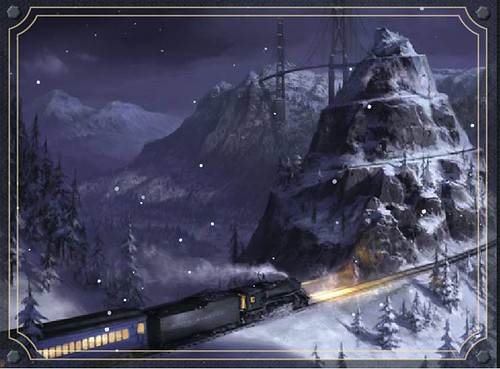
WHEN WILL THIS POLAR EXPRESS FINALLY LEAVE?

Think of it this way: You're having January in November, so this train of cold pain will be at the station a while. Temperatures across the region this week and into next will average 10 to 15 degrees below normal (since 56/35 are the climatological average temps for this same period). That serious early season imbalance portends a stormy situation brewing for the Mid-Atlantic and Northeast going into the first week of December. The occurence of this week's cold blast event on the heels of the early November and mid-October warm spells will throw the atmospheric pattern out of balance for the next 6-8 weeks. That means we will soon again see major weather events occuring "out of season." I foresee this pattern producing an early December snowstorm that could close schools for one day or more, similiar to the Dec 4-5, 2002 season opener.

Below-normal temperatures throughout the East now expected beyond Thanksgiving could prematurely drain a portion of the current supply of cold Canadian air. The culprit for this mid-winter preview is the presence of the Greenland block, as shown in
this Accuweather graphic above. A sprawling High pressure dome in the mid and upper atmosphere over Greenland both forces the polar jet southward, and blocks the easy escape of this cold air once it reaches the Eastern seaboard. That provides a 10-day to 2 week period for the ground to sufficiently harden and freeze. The block in conjunction with a persistent 500 mb upper level trough over the Eastern U.S. will funnel clipper after clipper toward the coast, reinforcing the colder air. Are you seeing how this would play out? As this pattern begins to decay after 2 weeks, in the December 1-5 timeframe, the Mid-Atlantic would be left with a frozen ground, plenty of stale cold air at the surface. Introduce a reinvigorated southern jet stream with warm moisture over-running the cold surface, and we have the makings of a kitchen-sink major winter storm with all your favorite fixtures... snow, sleet, freezing rain, blowing and drifting snow. Arriving around Wednesday, Dec. 3 at say 10 pm would be great timing for all you out there in education-land, wouldn't it?
The bad news is this scenario, were it to be realized, also results in losing all your beautiful snow by Christmas with highs by then in the 50's and 60's. Then January turns into this bland, gray, rainy month with temps in the 40's. My analog season as the most notable example is 1989-90, which featured the famous
White Thanksgiving of 1989 across the Northeast, followed by a
brutally and snowy cold December and January. I was at Penn State Altoona then, and remember clearly the huge warmup in late February to early March 1990 with temps soaring into the 80's, only to see snow and frigid temps return later in the month.
"IT IS TIME..."
MONDAY 11/17 ORIGINAL POST

You knew that I could no longer ignore the arrival of the winter's first Polar Express. I knew you’ve been checking to see when the next post would be coming. But we all agree that as Rafiki from the Lion King would say: "It is time" to launch our snow-speckled journey up the long and challenging mountain that will be the winter storm season of 2008-09.
The pattern I saw developing in October is playing out, as referenced by the original prediction posted in the comments on October 26. The bold was added today to emphasize the key projections.
"here's what I've thinking about the winter (first half).. it's all about what October does. Our mid month warmup may have sealed the deal for an early start to winter.. if so we may be looking at a region-wide snow day or two before Christmas, similar to Dec 2002.
In addition, I believe north of the PA-MD line you will see snow ON THE GROUND by Thanksgiving, and south of the PA-MD line, there will be a snow-fall event but not a snow-accumulation event before we roast the Turkey.
January is too tough to call yet, as that depends on what November does in my opinion. If Nov is much colder than normal, then January may end up mostly mild with a snap back to cold in Feb."
With that, I'd like to welcome everyone back and hope you will once again join our lively observation discussion in the comments below. Please include your location and state and let the fun begin!


