Funnel Cakes...
And Maybe Funnel Clouds?
 |
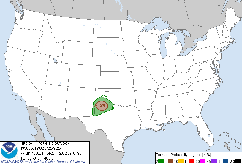
| Current NOAA Convective Outlook denoting a risk of tornadoes in the Mid-Atlantic Tuesday afternoon in to the evening |
10:30 AM EDT 8/14 (Severe Weather Team) If you are an event planner in the Mid-Atlantic, in public safety or attending a public event today such as a county fair -- please note that active day for severe weather is possible late this afternoon into early evening. A cold front will begin its advance into the area. The NOAA Storm Prediction Center has outlooked a 5% tornado risk for portions of the Mid-Atlantic, as noted above.
The primary areas of concern for isolated tornadoes and possible supercells:
- Richmond and Baltimore-Washington metro regions
- Much of the Chesapeake Bay from middle to northern Eastern shore
- Southern Pennsylvania and the Philadelphia metro area.
- IMPACTS: This may be more of a scattered storm event with strong to severe storms within the front as it passes. However, we are also watching for how current AM cloud cover may dampen the potential for storms to develop. Our Mid-Atlantic: Severe Weather Team will have another later today as the front approaches.
- TIMING: Some late AM rainfall is possible across western parts of the area, but we anticipate the period of impact between 3 PM and 9 PM, with the highest risk time in the evening commute time of 5-7 PM.
- HAZARDS: Damaging winds and hail are the primary hazards in any storms that become severe, in addition to brief heavy downpours and cloud to ground lightning. An isolated tornado or funnel cloud cannot be ruled out.
Please monitor your text alert system and the National Weather Service for any watches or warnings which may be issued later today. An easy way to see watches and warnings for the eastern U.S. is via this link to the NWS Eastern Regional Headquarters. Current statement from the NOAA Storm Prediction Center:
Lead Author: Josh O., Advisor Mr. Foot
Collaborators: Jason M., Andy S.; Advisor Ed G, Jason I.
Collaborators: Jason M., Andy S.; Advisor Ed G, Jason I.

