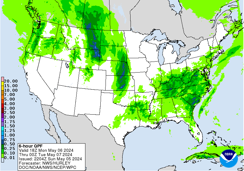
White* & Wintry Weekend
11:10 PM 2/21 - (Forecaster Mike from the Central Maryland Team) If you don't need to go out on the roads this evening, DON'T DRIVE! The roads are very bad and getting worse. If you can, stay off to give the road crews room to work. Temperatures are colder than modeled, but the change over to sleet and freezing rain is occurring as expected. This will actually only make the roads worse.
6:10 PM 2/21 - SLEET ON THE WAY - OR NOT? Track the latest precip changes in this close up radar of the region from Intellicast. The real question is-- should you clear now or wait?
- What precipitation type are you seeing now? In College Park, MD I am observing freezing rain with a temperature of 28º. That is very very cold for freezing rain.
- OVERNIGHT - Mixed precipitation will slowly move north over the next few hours, and eventually switch to some plain rain around 10 PM-1 AM from south to north, but most of the precip will be out at that point.
- SUNDAY - Expected to be above freezing, so road conditions should gradually improve very late tonight and through the day. Stay safe out there!
- If you clear the car now- the sleet and freezing rain collect ON your car, instead of on top of the snow. Our thought is to wait until it's all done, clear your walks first. Then clear cars last. Why? Because letting the sleet and ice collect on top of the snow, which absorbs and melts it, allowing the snowpack to get clumpy and then you can push it off in big chunks.
- What are your approaches to clearing your car, walks or driveway in a "multi-precipitation event?" We always welcome new perspectives on winter weather management.
2:20 PM 2/21 - IS THE BIG KAHUNA BACK? Heavy bands of snow are now moving through the DC/Baltimore metro areas for the next 2-3 hours, which will feature the highest snowfall rates of the entire event. If you haven't seen the "bucket dump" yet, get ready-- it's coming!
- Our forecasters reported seeing sleet in local obs from northern and central Virginia, which indicates warmer air is working over the mountains.
- Any "changeover" to sleet may be preceded by very large, rapidly falling snowflakes, suggesting a slug of high moisture content has worked into the mid-levels.
- Track the lulls and bands in this useful, multi-feature radar from the College of DuPage for Sterling VA (scroll to right side of image for a US radar site map pullout)
SNOW TOTALS RISING? Short range models also print out up to 0.50" of liquid is still in the pipeline for areas currently receiving snow. That means another 2-4" is possible, and could easily bring all totals at least 2" above our earlier forecasts of 3-5" for I-95 south and east (to 5-7") and for N & W areas, what was 5-8" may end up as 7-9" or even 10". The potential for this was first outlined Friday afternoon in our Bachata vs. Kahuna overview in Part 2 below.
REGIONAL RADAR LINK FROM INTELLICAST.COM10:00 AM 2/21 - UPDATE: Take note of our changed headline from "Wet" to "White" to account for potential that along and west of the I-95 corridor, indications are a changeover to sleet or freezing rain may be delayed or curtailed, thus increasing the possibility of higher snow totals by 1-2". In that case, our projections for 5-8" in southern PA, western MD and northwest of the Baltimore/DC metro areas could reach 6-9" where precip remains all snow the longest. In areas south and east of I-95, a changeover to sleet and freezing rain is still expected after 9 PM tonight.
- RECENT SHORT RANGE COMPUTER MODELS as of 9:00 AM hinting at higher totals in areas north and west of the DC-Baltimore metro, as well as Central & Northern Virginia
- WINTER STORM WARNINGS EXTEND FROM TENNESSEE VALLEY NORTH AND EAST TO CENTRAL & NORTHERN MID-ATLANTIC to NEW ENGLAND
- SNOWFALL OF 4-8" - LOCALLY HIGHER AMOUNTS OF 10" OR MORE ALONG THE APPALACHIANS. 3-6" IN METRO AREAS OF BALTIMORE/DC/PHILADELPHIA
- SNOWFALL RATES OF 1" AN HOUR AT TIMES BETWEEN 10 AM AND 4 PM WITH LOW VISIBILITY AND SNOW-COVERED ROADS LIKELY.
7:15 AM 2/21 - PART 1 STORM OVERVIEW / PRECIPITATION FORECAST MAP

TODAY: Snow arriving east of I-81 by mid morning, reaching southern PA and central Maryland by 10 AM. Accumulation will begin right away, continuing into Saturday night.

TODAY: Snow arriving east of I-81 by mid morning, reaching southern PA and central Maryland by 10 AM. Accumulation will begin right away, continuing into Saturday night.
- HEAVIEST SNOW for the Baltimore and Washington metro areas should occur between 11 10 AM and 4 PM today. Snowfall rates could occasionally reach 1" an hour, creating hazardous travel conditions as roads will become quickly snow-covered.
- SNOWFALL of 3-5" along the I-95 corridor, with higher amounts possible if there is less influence from a dry slot later today, and a delay in the changeover to sleet/freezing rain in areas east of I-83. West of I-83 and north of I-70, snowfall of 5-8" is expected.
TONIGHT: Snow may change to sleet and freezing rain in the southern Mid-Atlantic, as well as in DC and Baltimore, but remain snow/sleet mixed in northern areas longer. Up to 0.10" of ice is expected by Sunday morning.
SUNDAY: Brief periods of rain and temperatures warming slightly above 32 F may allow some of the snowpack to melt. RAIN THEN REFREEZING: However with a generally frozen ground surface, we do not expect much of the rain to be absorbed. Any melting snow will quickly refreeze Sunday night as temperatures drop below 20 F region wide.
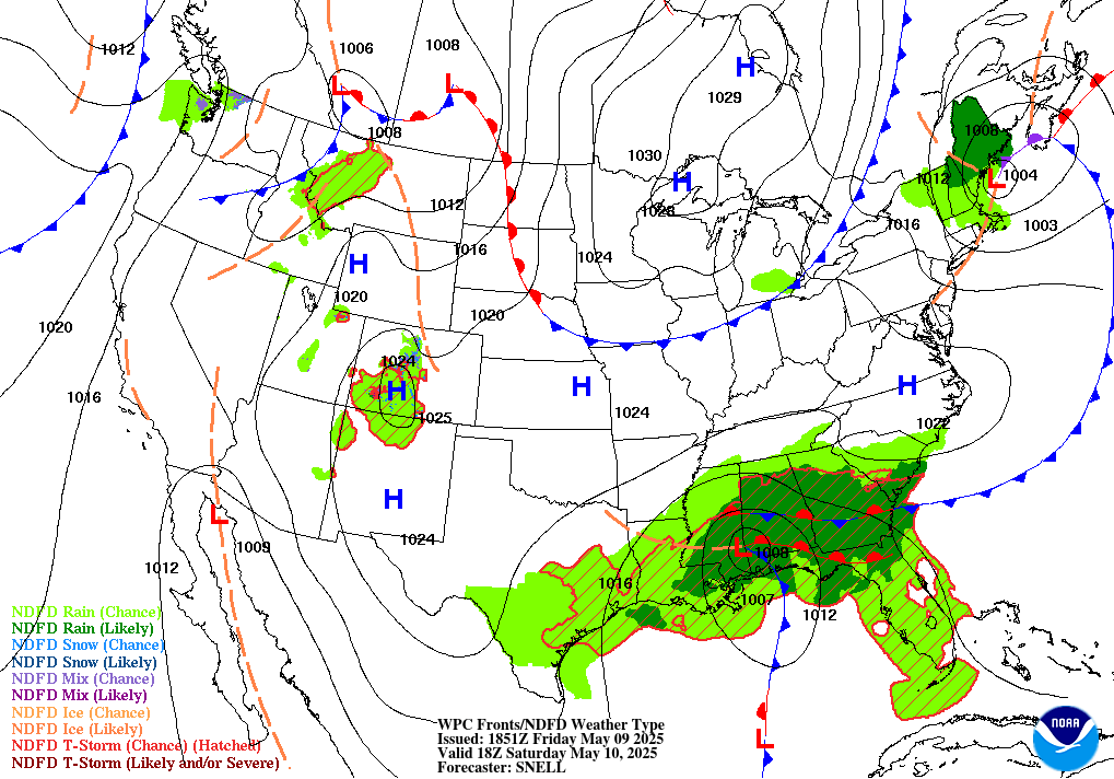
9:15 PM EST 2/20 - PART 2: WINTER STORM OVERVIEW & BUST SCENARIOS - This next winter storm is already proving to be the most complicated and unusual forecasts thus far this season. of the season thus far. To account for this concern, we want present the "Bust Factors" in this separate section due to several complex issues in play which sometimes do not present well on computer models.
Here's the situation: This storm occurring at any other time this winter would more likely be rain. However, with a ridiculously cold air mass in place, the outcome this time is skewing the region toward snow. With that said, there are two ways our forecast could be wrong, in one direction or the other
BACHATA BUNGLE – (20% Chance) In Bachata Scenario A, this storm performs a little “bachata” on us if it ends up stronger than
expected and is more effective at warming the atmospheric profile.
- Warm air cuts in earlier than expected, and a significant snow is avoided. Heavier precipitation rates from the warmer upper levels of the atmosphere warm the ground and limit the sleet/ice potential as well.
- This outcome could unfold if the slug of moisture goes northwest, then the precipitation doesn’t reach us until we have already warmed up.
KING KAHUNA - (20% Chance): We call this "King" because some of the computer models, even at this short range, are showing all kinds of wild snowfall possibilities. Some had 7-10" for large parts of the Mid-Atlantic, including the I-95 corridor. We're not waiting for the models to do the thinking for us, we're making sure we don't over-rely on one type of scenario and fail to account for the input from others.
- In a Kahuna Scenario - the moisture tracks slightly south and east where we expect it to. The heaviest precipitation comes in ahead of the warmup, delivering a quick thump of 4-6" of snow Saturday afternoon and evening in the metro areas, with some totals north and west of the cities surpassing our forecast with widespread amounts of 6 or more inches.
BOTTOM LINE QUESTION: How much of the moisture we see projected here for the next 24 hours is SNOW, how much turns to SLEET or FREEZING RAIN, and how much is left over as RAIN?
- HIGH PROBABILITY (70% OR MORE) of precipitation as all snow from 10 AM to 7 PM Saturday, followed by a change to sleet then freezing rain as the Low nears the region.
- MEDIUM PROBABILITY (40%) that snow may last a few hours longer on Saturday night.
- LOW PROBABILITY (10%) that snow stops sooner than expected and changes to rain.