Long Days Ahead
2:00 PM 10/3 TROPICAL TEAM UPDATE
- Hurricane Joaquin has intensified to 155 mph maximum sustained winds as of a 12:00 PM report from Air Force reconnaissance. The storm is moving northeast at 18 mph. Tropical storm force winds extend outward 205 miles from the center.
- Mid-Atlantic: Rain and wind will persist into Sunday. (NOAA Surface map loop). Easterly flow between a Canadian High and Joaquin will hold winds at 20-25 mph with gusts up to 30 mph for most of Saturday.
- Carolinas & Virginia: Historic levels of rainfall and flooding in progress (Washington Post article 10/2). Over 10" of rain will be common for most of South Carolina, with 20" in some areas. State officials expect a 1,000 year flood event.
- Coastal communities: Significant inland flooding and wind gusts of 50 mph on par with Isabel has been reported by officials along the southern Chesapeake, Delmarva and New Jersey. See live Webcams of Delaware and Maryland beaches for a current view.
- Offshore wave heights: 10-15 feet will continue through Saturday, increasing to 20 feet on Sunday. Wave heights in Joaquin's center estimated at 40 feet.

EASTERN U.S ENHANCED SATELLITE LOOP

ATLANTIC WIND/WAVE ANALYSIS - OCEAN PREDICTION CENTER

U.S. SURFACE OBSERVATIONS

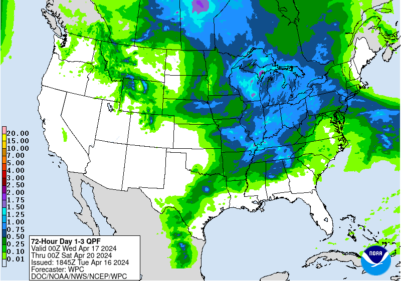
NOAA 3-DAY RAINFALL PROJECTIONS