
SKYFALL?
12:10 PM EDT 3/21 UPDATE
POTENTIALLY HIGH IMPACT LATE SEASON SNOWSTORM COULD AFFECT
MID-ATLANTIC & NE COASTAL AREAS TUESDAY INTO WEDNESDAY.
Extrapolation from European, NOAA Extended Forecast Discussion & 6-10 Day Analogs
12:10 PM EDT 3/21 UPDATE
POTENTIALLY HIGH IMPACT LATE SEASON SNOWSTORM COULD AFFECT
MID-ATLANTIC & NE COASTAL AREAS TUESDAY INTO WEDNESDAY.
Extrapolation from European, NOAA Extended Forecast Discussion & 6-10 Day Analogs
In the latest James Bond action thriller, when 007 and M return to the Scotland estate of his boyhood home, he knows well his surroundings (and the weather) as when he was a child. Long trained in special operations, the agent's cunning awareness can detect the finest hint of changes to come, and not just in the local climate.
In the video clip, 007 portends to M with brutal simplicity a fate neither they, nor us, can avoid... if long range projections about next week continue unfolding in a manner most certainly not Spring-like.
If you are prepared for the next briefing, which may end as unexpected and shocking as the final scene in Skyfall, read to the next section.
MULTIPLE COMPUTER PROJECTIONS POINT TO A SCENARIO RESEMBLING MID-MARCH 1993 DEVELOPING ALONG MID-ATLANTIC COAST EARLY NEXT WEEK
BRIEFING AS OF 1700 UTC 21 MAR 14 (1200 PM EDT)
WHAT WE KNOW TODAY

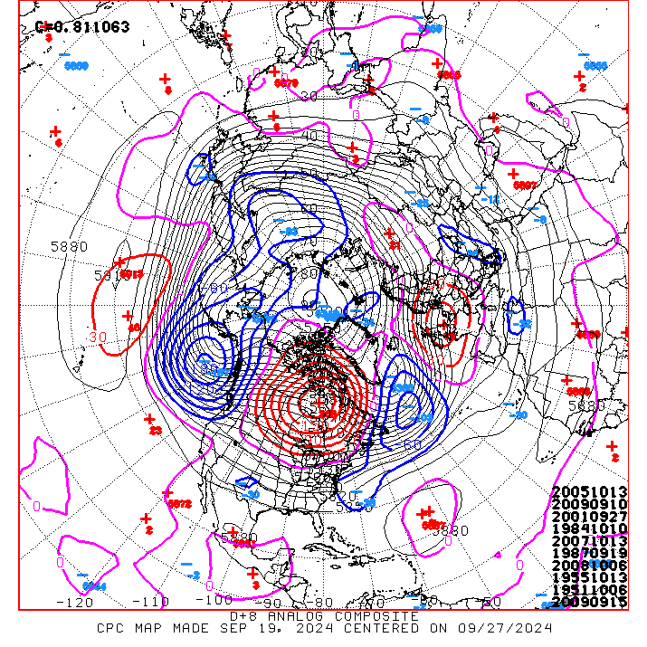
- As we approach the 5-day mark before "storm operations" would commence, we can reveal that both the European and GFS have been pointing to an extremely intense cyclone "bombing" off the Mid-Atlantic & Northeast coast by Tuesday night. Were this outcome to occur, it could reach a central pressure more characteristic of a Category 3 hurricane, at 970 mb as it departs northeast.
- Liquid projections range from a relatively tame 0.50 - 0.75 to as much as 2.00" in some of the European model member. Of the 51 total members of the European suite, at least 21 members can be aggregated to suggest a mean of 6"+ for Washington DC by Wednesday morning. That said, another 30 members show lesser impact, so the scenarios at play can be summarized as "all or nothing."
- While the origins of this storm are thousands of miles apart, the upper level flow is in a "Cross-Polar" Pattern, which will drive large masses of cold air directly southeast into the northern and eastern U.S., overridden by a Spring-like pattern of frontal moisture streaming northeast from the Gulf of Mexico.

- Deep and extensive snow cover across Canada is allowing Arctic Highs to maintain extreme cold in traveling south from Polar regions. Several large and powerful Highs will infiltrate the U.S. in multiple locations, and unleash a multi-day attack of cold not unlike January conditions for the period 24 through 28 March.
- European and US computer operatives, whose exact identities remain classified for security reasons, have for several days now been depicting a variety of coastal outcomes that produce snow and wind along much of the East coast. This in combination with above-normal precipitation for both the 6-10 day and 8-14 day projections, suggests that additional oversight is will be needed for even the most trained agents.
- Latest weather intelligence sources, using remote analysis technology provided by F, indicate that several systems of interest are expected to travel in a southeast direction from northern Canada, starting Sunday. Canadian authorities have been tracking these systems since early in the week. By Monday, the suspects may be moving through the Upper Midwest. If sufficient decryption of non-state actor dossiers can occur in time, it is believed by the Department there will be a second infiltration coming from the southern U.S. starting on Tuesday.
- Due to concern for maintaining public calm (and securing agent identity), it is recommended that further mention of large scale geographical extent of the potential outcomes for Wednesday be restricted only to the highest security officials, pending confirmation of TS/SCI clearances by the appropriate authority.
DISCLOSURE NOTICE: Should this information be disclosed to unfavorable parties, the Secretary will disavow all knowledge. The next briefing on this situation is expected by 09 UTC 21 MAR 14.
FF10
Weather Security Department