
Lady Gaga Storm Coming On Stage
8:30 AM EST 2/7 - SNOWFALL AND STORM TRACK UPDATE. Overnight computer models trended colder and snowier for Tuesday. We have high confidence in an all snow event starting by 6 PM Monday for the Mid-Atlantic, with at least 4" probable for the metro areas of I-95 from Washington to New York.
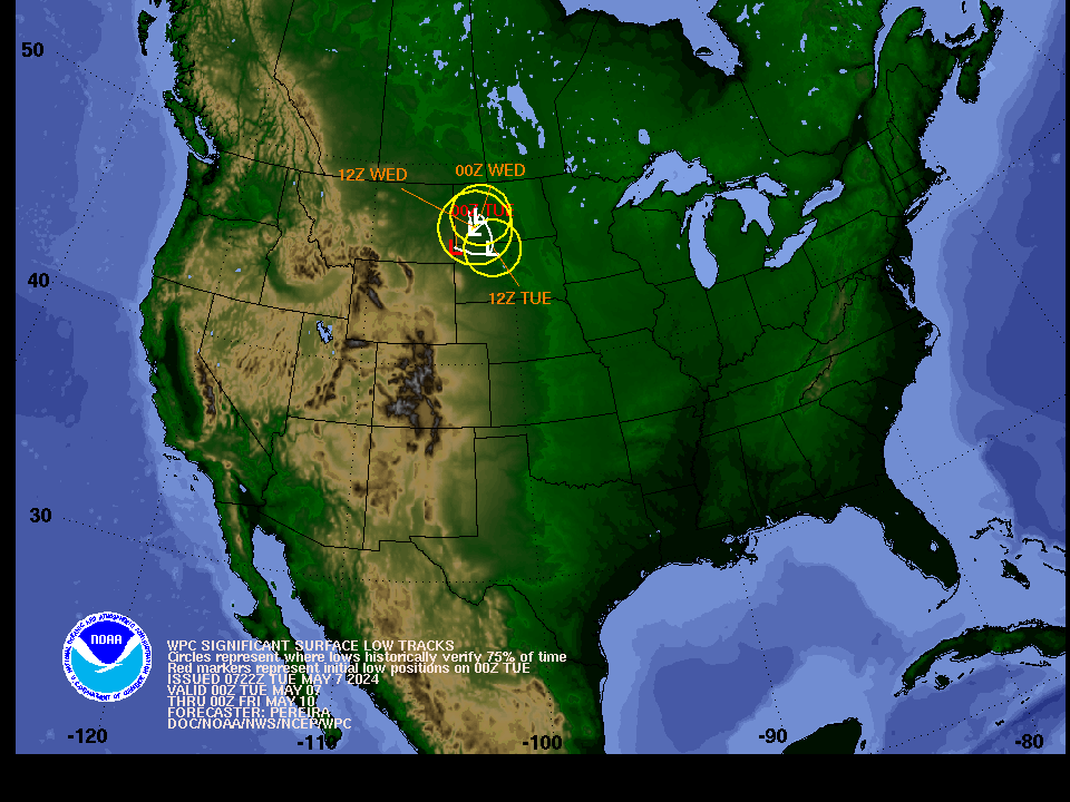
WHAT DRIVES THE HIGHER CONFIDENCE? The track the Low shown south of DC, moving slowly across the southern Bay indicates there is ample distance and time for that system to tap Atlantic moisture and wrap it back into the inland cold air.
NWS STATEMENTS: Most area NWS offices have been laying the groundwork in their Hazardous Weather Outlooks for some time now. We surmise Winter Storm Watches could be posted for some areas later today if these indications continue in the next set of model runs. Remain alert for the latest official statements from your local NWS office.
TIMING: Although Monday looks precip-free for most areas east of I-81, we advise you have alternate plans in place for Tuesday as many areas are likely to be impacted by snowfall throughout the day. Our earlier statements are posted below.
Unusual and highly complex arrangement for early next week points to irregular and varying precipitation types for the eastern Mid-Atlantic and Northeast.
- Scenarios are all over the stage, ranging from a coastal surprise for New England to a 36-hour light snow event for the I-95 corridor starting Monday morning;
- Hard-to-explain forecasts may confound the effort of emergency managers, schools districts and parents alike to adequately plan. We advise being ready to adjust to changing conditions and have alternate arrangements in place for surprises.

11:00 AM EST 2/6 - TEAM STATEMENT ON CURRENT & LONG RANGE PATTERN by Forecaster Jason Mitchell and the Winter Stormcast Team
PRESENT CONCERNS: We are aware many readers wish to have specifics on the upcoming winter weather event to affect the Mid-Atlantic Monday-Wednesday.
- The above referenced map depicts the start of a complex and multi-day precipitation event starting Monday midday and lasting into Wednesday.
- It is an evolving situation and we do not have a solid lock on exactly what will happen, but are evaluating scenarios we feel are appropriate for public review.
- We can say it is likely many areas will see some accumulating snow late Monday into Tuesday, although at this point it's not looking like it will be a blockbuster event.
LONG RANGE CONCERNS: Investigation of the current and projected pattern over the next 2-3 weeks suggests some historical comparison between present day and the weather events of February 2010.
- Many of the blockbuster Northeast/Mid Atlantic snowstorms that have occurred in February over the past 60 years have coincided with moderate or strong El Nino episodes.
- The strong El Nino episode ongoing in the Pacific Ocean this winter has certainly made its mark on the region since late fall.
- Rainstorms since the Fall have been more frequent than any other year in this timeframe since 2010.
- The amount of moisture that was pulled into the nor'easter which became the Blizzard of 2016 is directly related to the effects of the current strong El Nino.
The big question is what can this pattern produce over the next couple of weeks, It is the most interesting and potentially stormy setup we have had in some time, and will bear close monitoring.